La Palma map with sights, restaurants and excursion destinations in the northwest of the island
In the La Palma map you will find: excursion destinations, swimming spots, hiking trails, restaurants, stores, gas stations, ATMs, pharmacies and other facilities. Here directly to the map…
La Palma Northwest: Our top 8 favorites:
Discover our personal favorites near Hacienda La Palma.
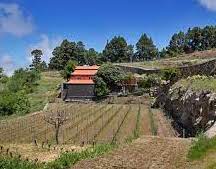
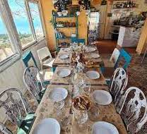
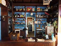
1. a walk to our neighbors Bodega El Nispero.
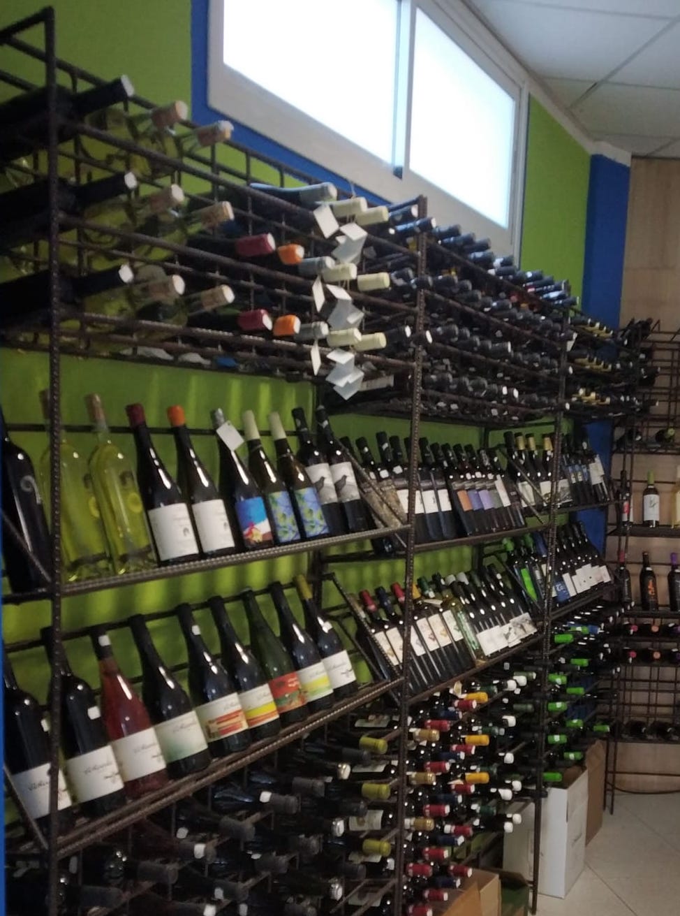
Here you can enjoy the finest Canarian cuisine and some of the best wines on the island.
Attention: Only with reservation. To the Bodega El Nispero on Google Maps
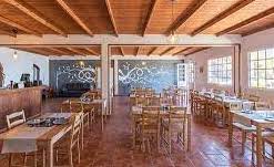
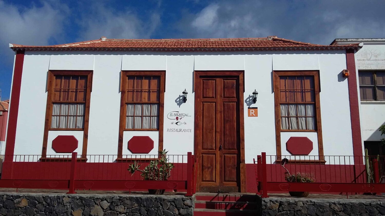
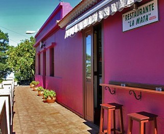
2. the La Mata restaurant.
Through the green valleys of La Mata to the restaurant.
Very good Canarian cuisine at fair prices.
About 15 minutes by car from the hacienda. To the restaurant la Mata on Google Maps
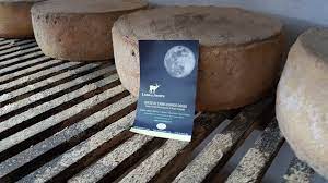
3. goat farm Luna de Awara: buy fresh goat’s cheese directly on the farm.
Located in the middle of nature.
Can be ideally combined with a trip to the La Zarza visitor center or a hike through the enchanted forest (favorite no. ).
Please note the opening hours! To the Luna de Awara goat farm on Google Maps
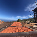
4th Mercadillo Puntagorda – weekly farmers’ market on the edge of Puntagorda in El Fayal.
Buy fresh fruit and vegetables from La Palma’s wide range of produce directly from the producers every weekend.
Try the fresh sugar cane juice or a piece of freshly baked cake from the baker.
There are also handicrafts for souvenir hunters in the market hall.
Note the opening times on market days! To the Mercadillo on Google Maps
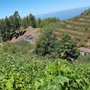
5. the dragon tree hike in La Tricias is an obvious hiking recommendation for all those who want to see unique dragon trees.
You will pass some very old and large specimens along the way.
Those who enjoy old, authentic stone paths will get their money’s worth here.
The many twists and turns invite you to pause and enjoy the spectacular views.
To the starting point of the hike at the Las Tricias tourist information center on Google Maps
6. if you like mysticism and hiking through a former riverbed through lichen-covered laurel forests, you will get your money’s worth opposite the La Zarza visitor center.
This is also an insider tip on hot days (Calima), as you can hike in the shade of the forest towards Don Pedro at a pleasant temperature.
Take a look at the profile of the hike in our local Rother hiking guide.
To the starting point of the hike at the La Zarza visitor center on Google Maps
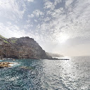
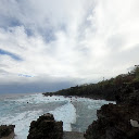
7 Callejoncito presents us with a black sand beach typical of the Canary Islands in the summer months.
The bathing spots in the north always involve a short descent on foot.
Those who like to swim in less frequented bays will find good conditions here, but be careful and never swim out of a bay into the open sea, as the Atlantic has strong currents.
It is also helpful to check whether you are on the beach at high tide or low tide.
Check the tide chart for the tides and experience a magical sunset at low tide.
In winter, the lovely beach transforms into a rocky bay that intercepts the wild Atlantic Ocean – an energetic natural spectacle. To the Callejoncito on Google Maps
8 For the more intrepid, we recommend a trip to Playa la Veta.
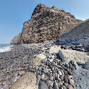
Once you have survived the journey and mastered the short hike through tunnels and downhill over rocky cliffs, you will reach one of the small bathing paradises in the northwest of la Palma.
Here, too, there is more sand in summer and the beach is rocky in winter.
Insider tip: If you want to take it easy, there is another bay on the beach to the north, but be careful when climbing over the rocks. Playa la Veta on Google Maps
























Start the tour at the visitor center and head down through the fairytale forest towards Don Pedro.
At Cruz del Gallo you can decide whether to go up the road or extend the tour to Don Pedro.
La Zarza Visitor Center on Google Maps
Beautiful bathing beach in the summer months (from approx. June/ July) No sandy beach in the winter months (from October/ November).
Descent from the parking lot approx. 20 minutes. Callejoncito on Google Maps
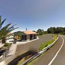
The approach is steep and takes place via a relatively narrow but asphalted road. Not for anxious drivers. From the parking lot, it's another half an hour's hike down a relatively steep path to the sea. In the summer months from June/July with a partly wide black sandy beach, which becomes smaller in the winter months. There is usually some beach in the bay at low tide all year round. It's definitely worth it for the adventurous.
La Veta on Google Maps
 A 4-course menu is offered once in the middle of the month.
Attention only with reservation!
Up to 20 people always on Thursday and Friday.
Contact and make an appointment directly with Ina
via SMS and Whatsapp
under number 0034 - 627 61 24 58.
Beautiful bathing beach in the summer months (from approx. June/ July) No sandy beach in the winter months (from October/ November).
Descent from the parking lot approx. 20 minutes. Callejoncito on Google Maps
Depending on the swell, you can swim here from June to October/November. One of the quickest ways to get to the sea from the hacienda. In the winter months, the sea is often very wild, which is definitely an experience, but swimming is no longer possible. From the parking lot, it takes about 15 minutes to descend the stairs to the pools. Puerto Puntagorda on Google Maps
The approach is steep and takes place via a relatively narrow but asphalted road. Not for anxious drivers. From the parking lot, it's another half an hour's hike down a relatively steep path to the sea. In the summer months from June/July with a partly wide black sandy beach, which becomes smaller in the winter months. There is usually some beach in the bay at low tide all year round. It's definitely worth it for the adventurous.
La Veta on Google Maps
Start the tour at the visitor center and head down through the fairytale forest towards Don Pedro.
At Cruz del Gallo you can decide whether to go up the road or extend the tour to Don Pedro.
La Zarza Visitor Center on Google Maps
Geocoding Error Occured.
Tried to Geocode:
Error Type:
Please be sure to follow the tutorial on how to setup the Google APIs required for the Advanced Google Map Widget.
Google Map API Key TutorialWhere is the most beautiful place on La Palma?
The Canary Island of La Palma is unique in its diversity and nature. The volcanic landscapes in the south of the island, the somewhat wetter east side with wonderful forests and the island’s capital Santa Cruz. Fantastic beaches and the tourist centers in the west and the still somewhat untouched and wild north.
The special altitude of the hacienda on the sunny north-west side of the island combines the most spectacular and beautiful landscapes for us. Centuries-old pine forests, vineyards and almond groves, gorges and dragon trees.
All around, the blue Atlantic shines and beckons in the light-flooded sea of clouds. Clean air and starry nights over La Palma: these characteristics led to the establishment of the world’s largest observatories on the ‘Roque de los Muchachos’. On the way up to the highest mountain on the island, the hacienda offers the highest permanently inhabited vacation homes. Astronomers love this location because of the excellent conditions for observing the stars.
Apart from the wine-growing fincas of the local winegrowers, there are no neighbors far and wide. Our vacation guests enjoy the peace and quiet and secluded location and many have discovered Hacienda La Palma as their favorite place on La Palma.
Discover here what they have to say about their stay with us in the vineyard.
When is the almond blossom on La Palma?
The almond blossom on La Palma takes place between January and February. A special highlight is the annual almond blossom festival at the beginning of February in Puntagorda. Here at the hacienda you will find over 300 almond trees, which are in bloom for about three to four weeks these days. If you can’t make it to the almond blossom, you have the opportunity to take part in the almond harvest in September and October.
What is the best time to visit La Palma?
The Canary Island of La Palma is a popular vacation destination all year round. The period from October to April is the most popular with our guests as this is when there are the most direct flights. Being able to spend the winter here in the sun is particularly attractive. But the summer months are also very popular here at this altitude in the northwest of La Palma. The pine forests and the island’s water system ensure that it is green here even in summer. On particularly hot days, a hike in the laurel forest of La Zarza or down to the Calle Jonsito bathing area is well worthwhile. Discover the current flight connections to La Palma in the summer timetable here.


